

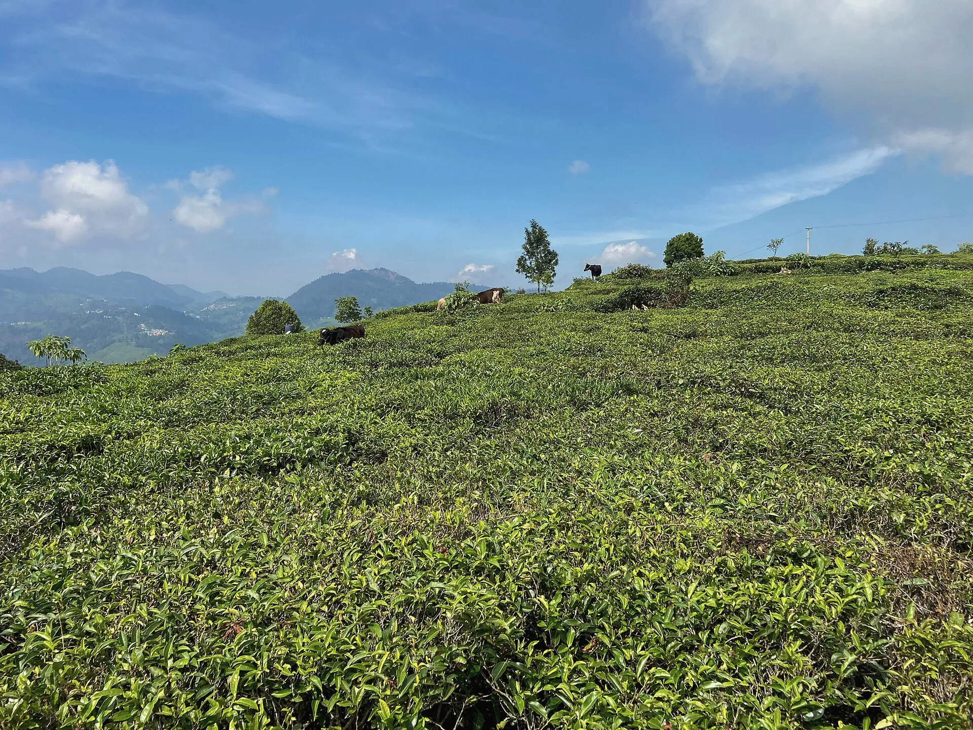
Kotagiri town and Nehru Park
The nearest town, with cafés, a market, ATMs and Moddy’s homemade chocolates opposite Nehru Park.
Directions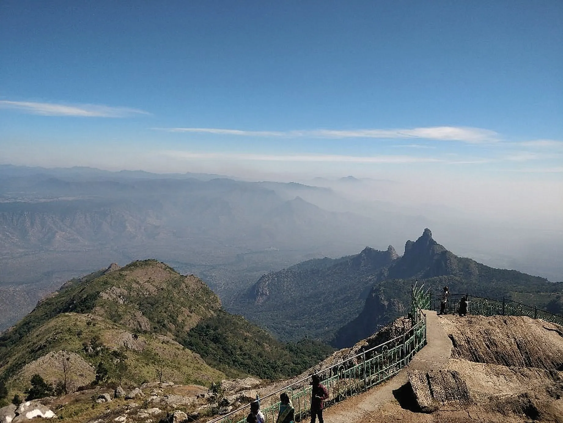
Area guide
Drive times are from the cottage, measured on Google Maps.
01
Tea estates, shola forest and viewpoints over the plains.
The nearest town, with cafés, a market, ATMs and Moddy’s homemade chocolates opposite Nehru Park.
Directions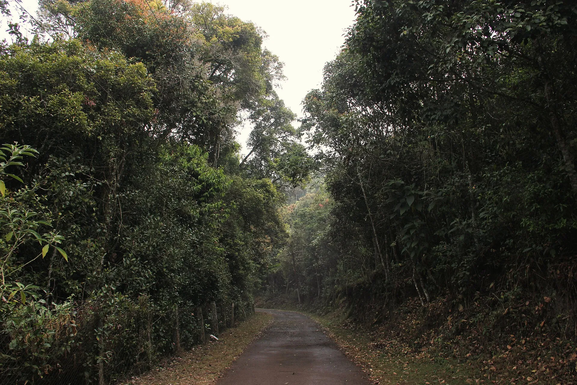
One of the last patches of native shola forest, and an Important Bird Area with Nilgiri endemics such as the laughingthrush and wood pigeon.
Entry needs Forest Department permission. Ask us to check before you go.
Directions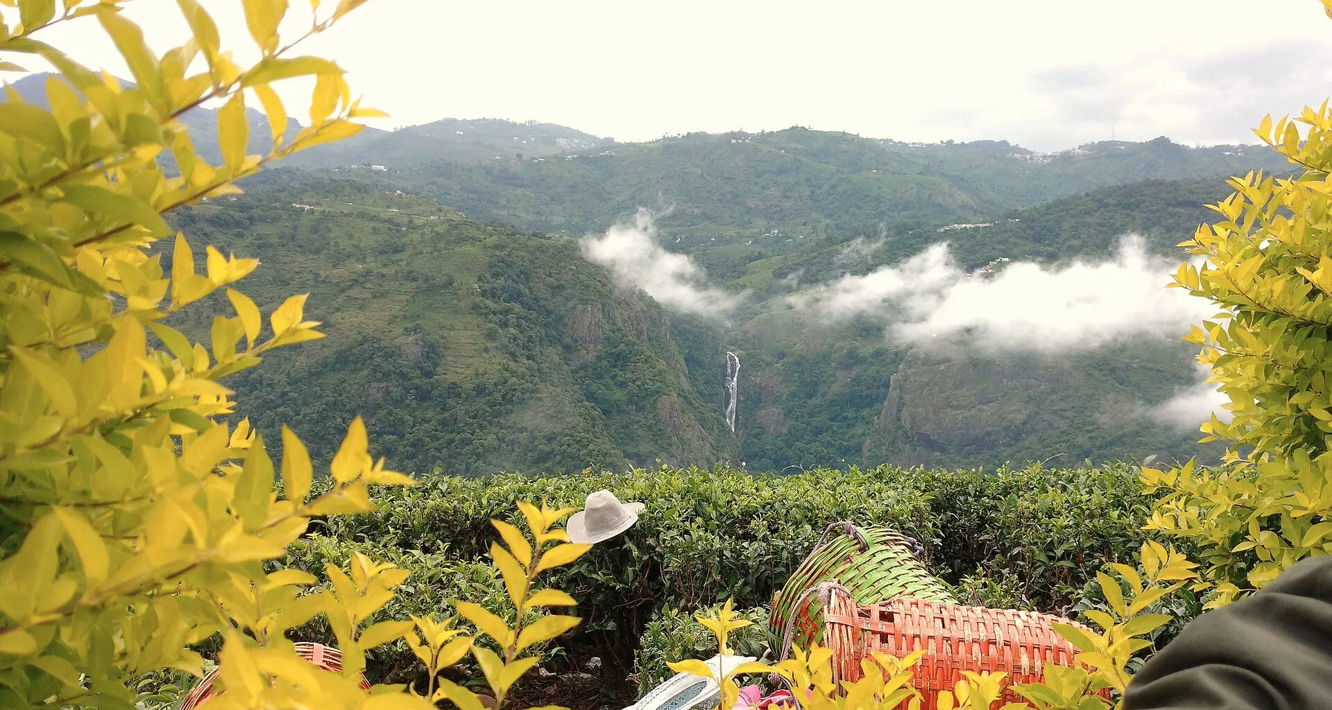
A tall double-tiered fall seen across the valley from the Dolphin’s Nose side, or from the road head above it. Best from July to November.
The trail to the base is steep and unmarked. Go with a local guide, and skip it in heavy rain.
Directions The eastern edge of the Nilgiris, looking down to the Moyar river, Rangaswamy Pillar and the Mysore plateau.
Go in the morning for clear air; afternoons often cloud over.
Directions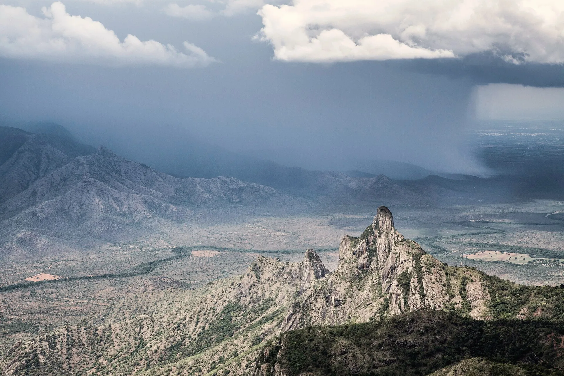
A lone rock pillar beside a peak sacred to the Irula people, seen best from the Kodanad road.
Directions02
Gardens, tea factories and cliff viewpoints.
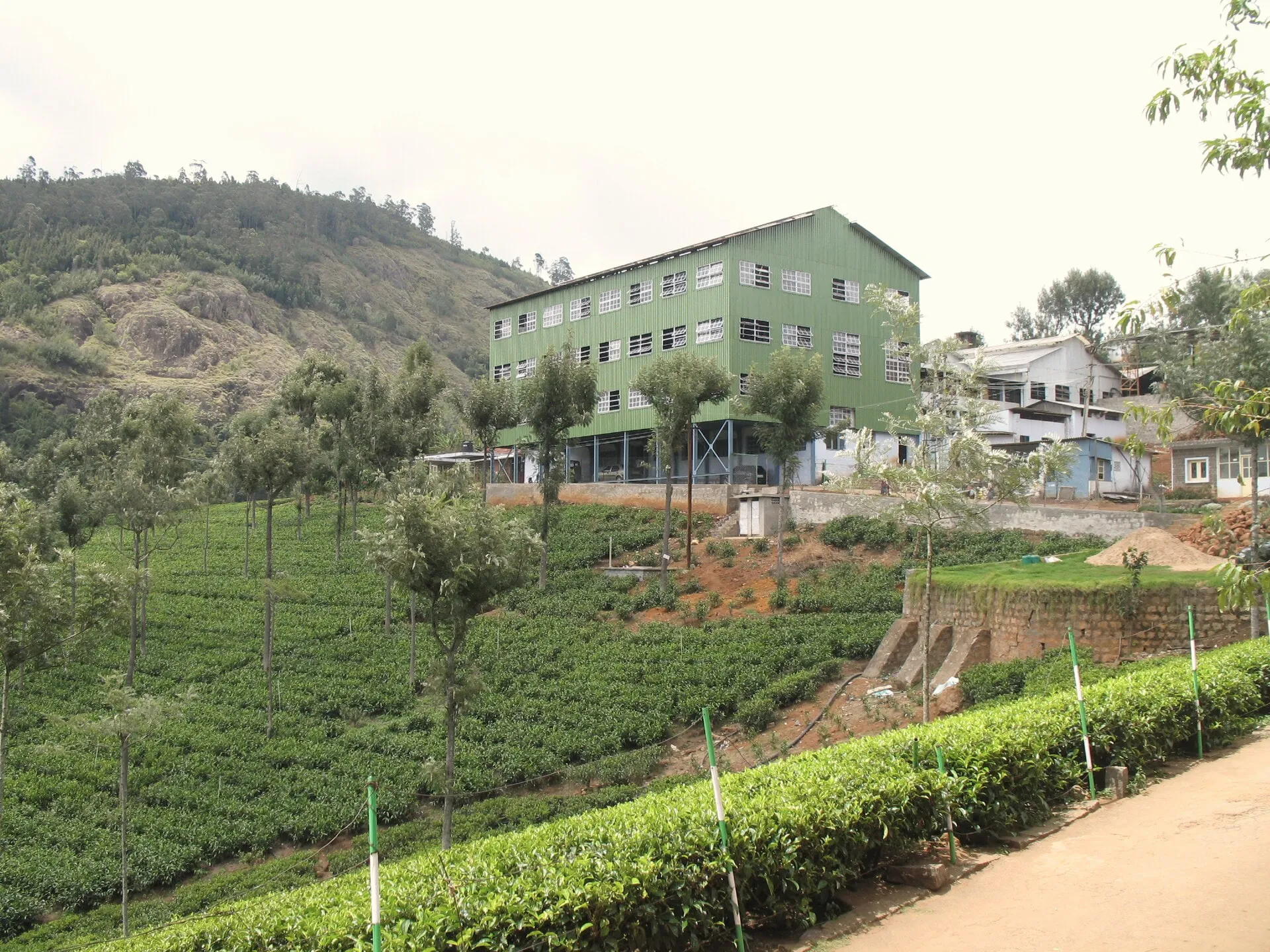
Watch withering, rolling and drying, then taste the teas at one of the best-known factory tours in the hills.
Directions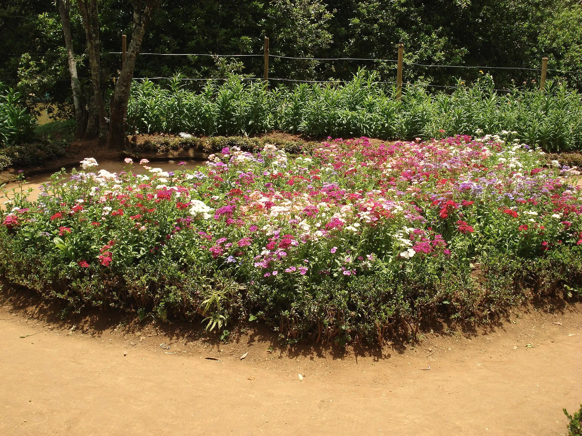
A Victorian botanical park in a ravine, with rare trees, a small lake and the fruit show each May.
Directions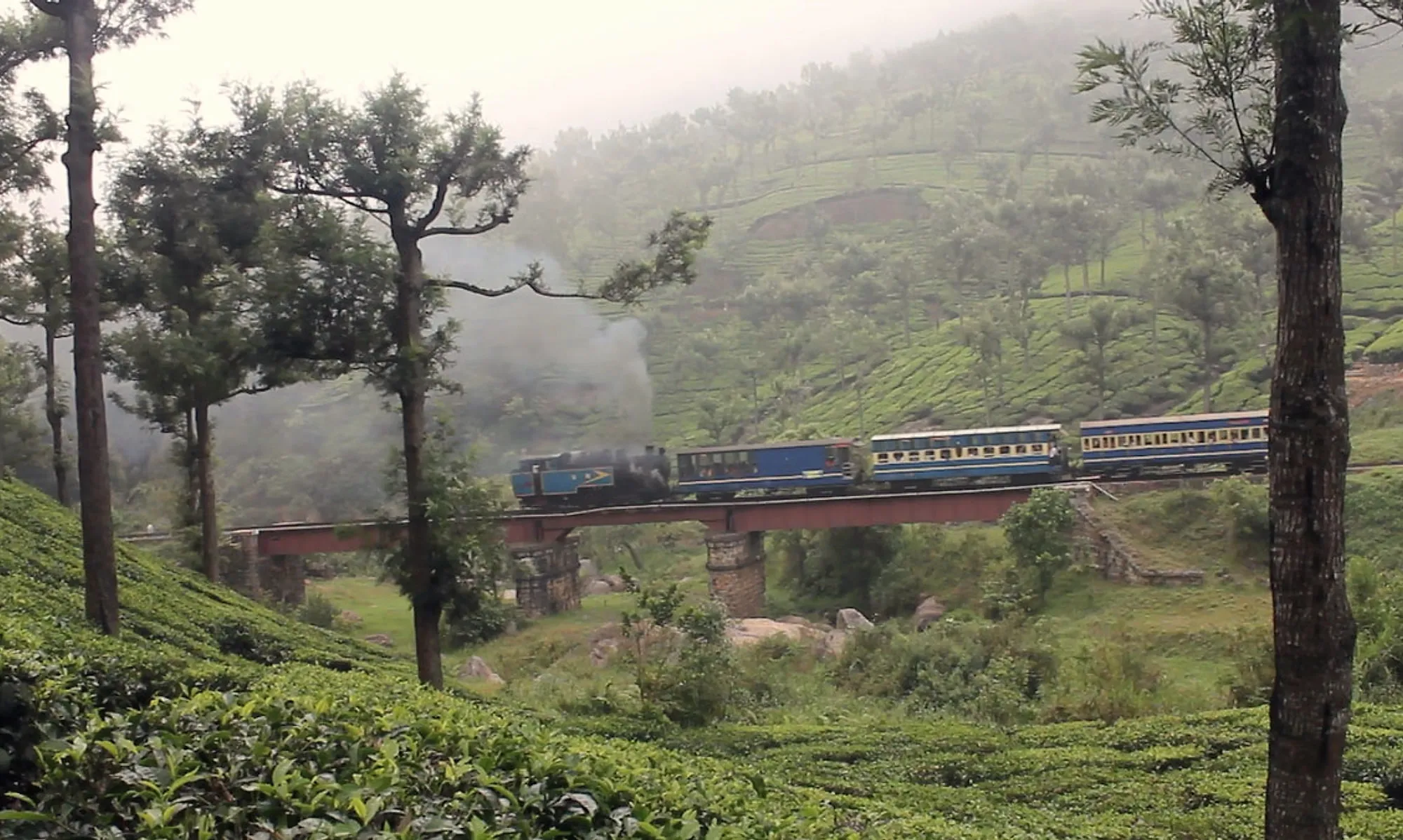
The Nilgiri Mountain Railway, a UNESCO World Heritage line, runs through Coonoor between Mettupalayam and Ooty.
Book on IRCTC; seats sell out weeks ahead in season.
Directions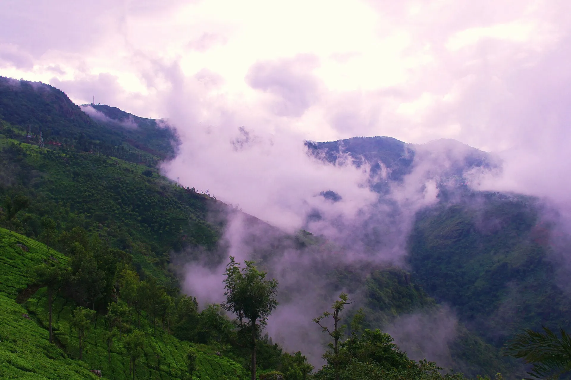
A short walk through tea to a cliff with views over the Coimbatore plains.
Directions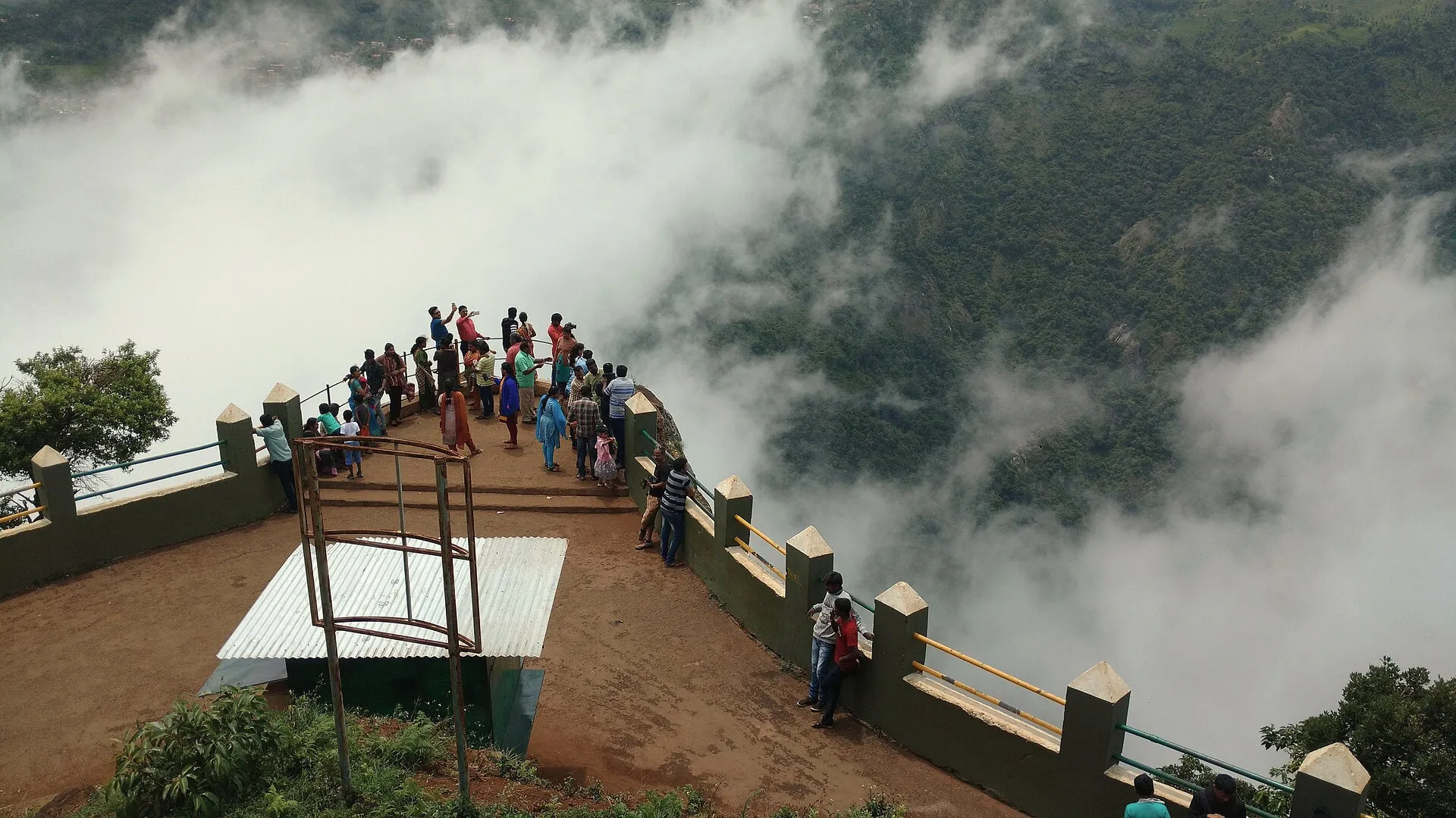
A rocky headland above a deep gorge, with Catherine Falls across the valley.
Directions03
The main hill-station sights. Start early to avoid weekend traffic.
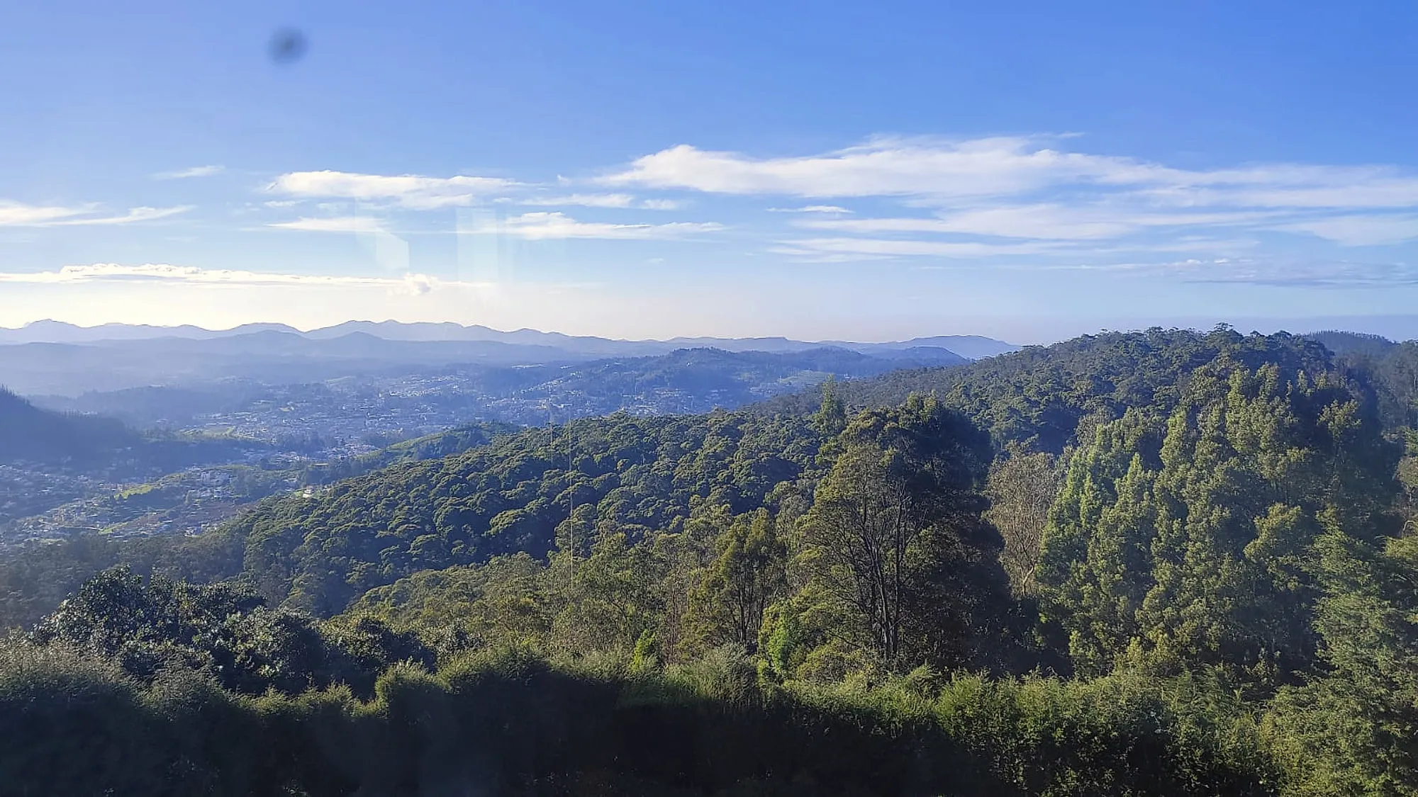
At 2,637 m, the highest point in the Nilgiris, with a telescope house and wide views on a clear day.
Directions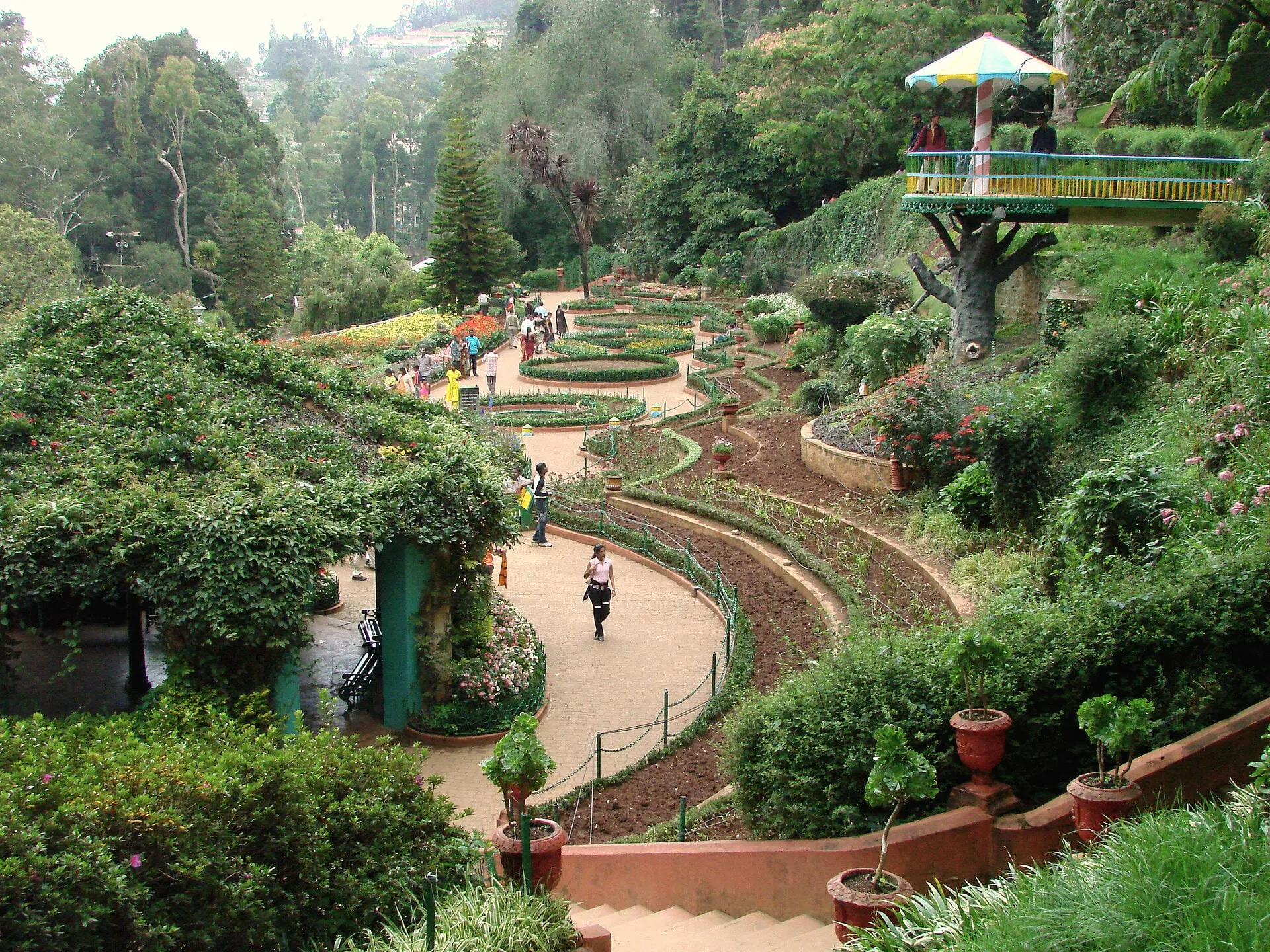
Terraced lawns, glasshouses and a fossil tree, laid out in 1848. Home of the May flower show.
Directions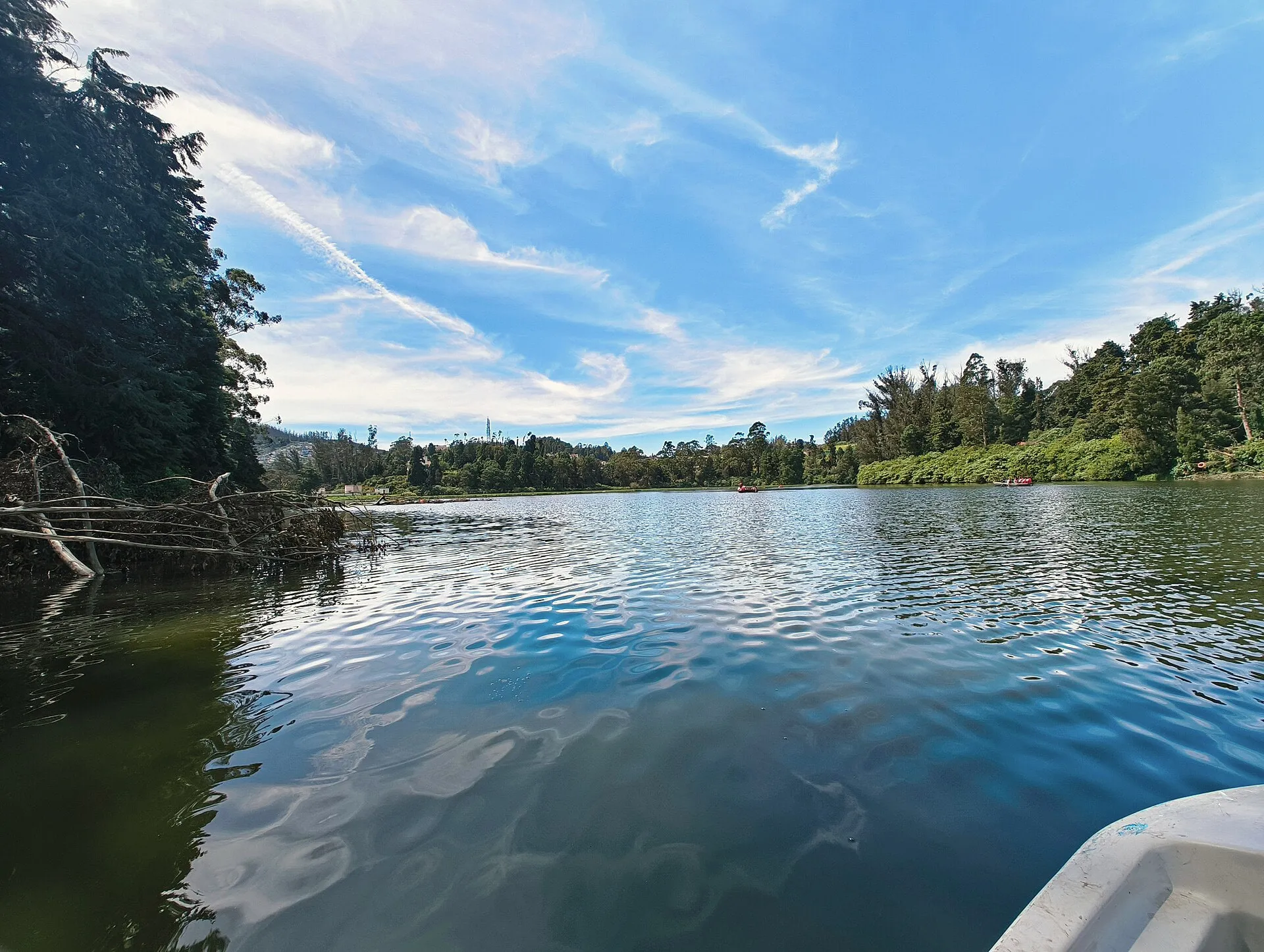
Boating on the town lake. Busy, but popular with children.
Directions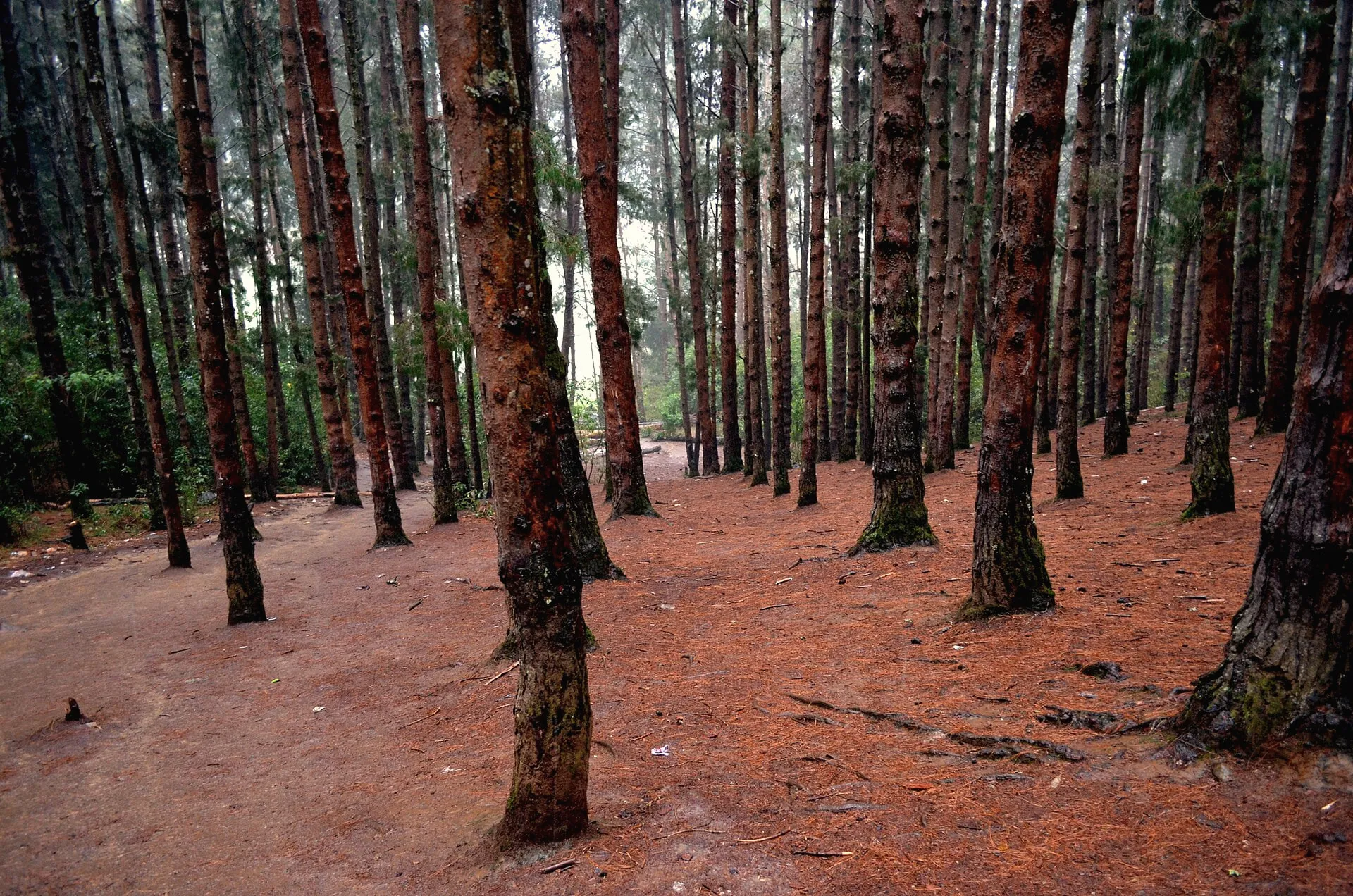
Tall, straight rows of pine on a slope above the Kamarajar dam, on the road towards Pykara.
DirectionsDay plans
We can build a plan around your dates and arrange a cab and guide.
Getting here
Fly to Coimbatore (CJB). From there it is about two hours by car up the Mettupalayam–Kotagiri ghat road. We can arrange a cab.
Take a train to Mettupalayam, then the toy train to Coonoor, or a cab straight up. Coonoor station is 30 minutes from the cottage.
From Mettupalayam, take the Kotagiri ghat road. It has far fewer hairpin bends than the Coonoor road. At Kotagiri, follow the Coonoor road for about 7 km to West Brooke.
| Place | Distance | Time |
|---|---|---|
| Kotagiri town | 7 km | 11 min |
| Coonoor railway station | 15 km | 30 min |
| Ooty railway station | 22.5 km | 45 min |
| Mettupalayam railway station | 40 km | 1 h 10 min |
| Coimbatore Junction | 76 km | 1 h 55 min |
| Coimbatore airport (CJB) | 76 km | 2 h |
| Kochi | 263 km | 5 h 45 min |
| Bengaluru | 346 km | 8 h |
| Chennai | 536 km | 10 h 20 min |
Google Maps, without heavy traffic. Allow longer on summer weekends and in rain.
Practical
Tourist vehicles registered outside the Nilgiris need a free e-pass from epass.tnega.org. Apply before you set out.
epass.tnega.orgSingle-use plastics, including PET water bottles, are banned across the Nilgiris, with fines and checks at entry points.
Government Hospital, Kotagiri: 04266 271309. Government Lawley Hospital, Coonoor: 0423 2231050. Ambulance: 108.